The short history follows changes in rule and state formation. This page provides the geographical vocabulary needed to read that history. It also distinguishes the names of regions that extend across present borders from the names of places entirely within Romania or Moldova. The guide to peoples adds the communities whose histories cannot be reduced to boundaries alone.
The Carpathian arc
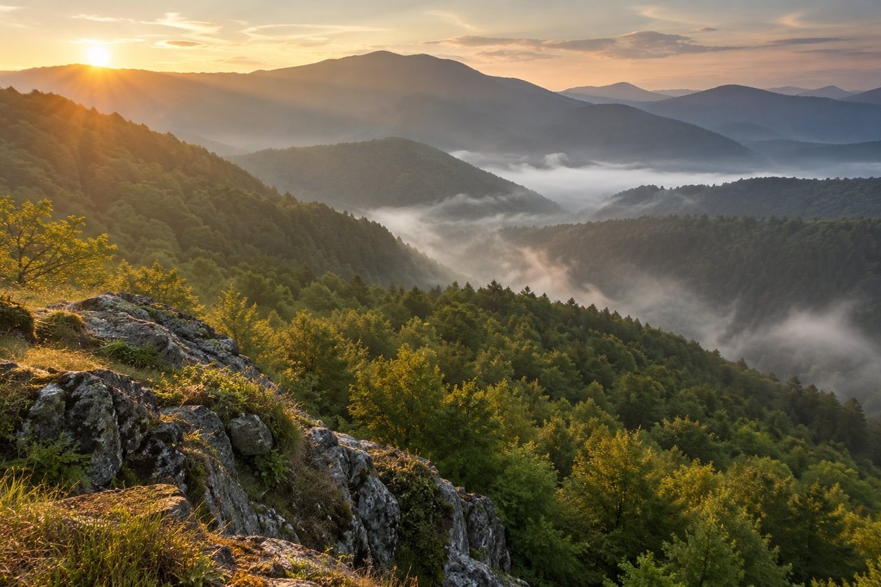
The Wikipedia article on the Carpathian Mountains describes a mountain arc extending across Central and southeastern Europe. Its account distinguishes western, eastern and southern sections and places Romania within the latter parts of that wider range. The Carpathians therefore belong to a regional geography larger than a national outline.
For reading a place description, notice whether the source names the whole range, a section or a local mountain group. A statement about the Carpathians in general may not describe a particular valley. The same care applies to cultural descriptions: mountain scenery provides a setting for settlements, but it does not establish that communities separated by ridges or borders have the same history.
The Danube: gorge and delta
Wikipedia’s article on the Iron Gates identifies a gorge on the Danube that forms part of the boundary between Romania and Serbia. Here the river separates the Southern Carpathians from the northwestern foothills of the Balkan Mountains. The name can refer to a broader succession of gorges or to a narrower part of that route, so its meaning needs attention in a particular description.
The Wikipedia article on the Danube Delta places the delta where the Danube enters the Black Sea, mostly in Romania with a smaller part in Ukraine. It describes an alluvial landscape of wetlands, channels and lakes, recognised as World Heritage and as a biosphere reserve shared by the countries. The gorge and delta are contrasting river settings: a confined passage through uplands and a spreading system of water and sediment near the sea.
Neither setting should be described only as scenery. The delta’s channels and the gorge’s narrowed river are physical structures that shape how the places can be understood. Keeping the physical description separate from historical and cultural interpretation gives a reader a clearer account of both.
Principalities and a central plateau
Wikipedia’s article on Wallachia locates it between the Lower Danube and the Southern Carpathians. It identifies Muntenia and Oltenia as its traditional divisions and describes Wallachia as a principality that helped form the modern Romanian state. A historical reference to Wallachia is therefore more specific than a general reference to southern Romania.
The Wikipedia article on Moldavia describes the historical principality and region between the Eastern Carpathians and the Dniester. Its former lands now fall within Romania, Moldova and Ukraine. This makes the distinction between historical Moldavia and today’s Republic of Moldova essential. The guide to Moldova follows the republic’s particular history within that larger geographical setting.
Wikipedia’s article on Transylvania locates the historical and cultural region in central Romania, enclosed to the east and south by the Carpathians and to the west by the Apuseni Mountains. It also explains that broader uses of the name include neighbouring western regions. A source’s definition should therefore be recorded before interpreting a statement about Transylvania. The same word can refer to a narrower historical territory or a wider cultural and geographical area.
Coast, northern slopes and mountain valleys
The Wikipedia article on Dobruja places the region between the Lower Danube and the Black Sea. Northern Dobruja belongs to Romania and Southern Dobruja to Bulgaria. The region includes the delta and coast, but also hilly land away from the water. That combination is more useful than treating Dobruja as simply another name for the Romanian seaside.
Wikipedia’s article on Bukovina identifies a historical region along the northern slopes of the Eastern Carpathians and adjoining plains, now divided between Romania and Ukraine. Its account places the region within the histories of Moldavia and Habsburg rule. Modern boundaries and older regional connections therefore need to be read together, without assuming that the present division describes every earlier period.
The Wikipedia article on Maramureș locates it in northern Romania and western Ukraine, within the upper Tisza drainage basin and the surrounding mountains. It distinguishes the historical region from Romania’s Maramureș County, which contains only its southern portion. A county name can therefore resemble a regional name without covering precisely the same territory.
The Banat as a borderland
Wikipedia’s article on the Banat describes a region of the Pannonian Basin divided between Romania, Serbia and Hungary. Its boundaries follow the Danube, Tisza, Mureș and Southern Carpathians. The source records successive Hungarian, Ottoman and Habsburg settings and identifies Romanians, Serbs and Hungarians among its communities.
Borderland is useful here when it directs attention to crossings, different administrations and the coexistence of languages. It should not make the region sound like an empty space between other people’s countries. Banat is a place with settlements and community histories of its own. The guide to university towns introduces Timișoara within that wider setting.
Bessarabia between the Prut and Dniester
The Wikipedia article on Bessarabia defines the historical region between the Prut on the west and the Dniester on the east. It describes changing Ottoman, Russian, Romanian and Soviet control and explains that parts of the region now lie in Moldova and Ukraine. Bessarabia is consequently a historical geographical term, rather than a simple synonym for the present Republic of Moldova.
A reader should identify which part of the region and which political setting a source means. The Budjak is part of the southern story, while the name Bessarabia has also been applied to a wider territory. Keeping the river boundaries and the source’s terminology in view helps prevent an account of a particular place from becoming an unsupported claim about the whole region.
Regional names at a glance
The table gathers location phrases and identifying features from the Wikipedia articles discussed above. It is a compact aid to reading, rather than a map of political boundaries. The phrases retain the wording of their sources so that a regional term can be compared with the fuller description in the article.
| Region | Where | Notable for |
|---|---|---|
| Wallachia | north of the Lower Danube and south of the Southern Carpathians | Muntenia (Greater Wallachia) and Oltenia (Lesser Wallachia) |
| Moldavia | between the Eastern Carpathians and the Dniester River | former principality |
| Transylvania | central Romania | Carpathian landscape |
| Dobruja | between the lower Danube River and the Black Sea | the Danube Delta, the Romanian coast, and the northernmost part of the Bulgarian coast |
| Bukovina | the northern slopes of the central Eastern Carpathians and the adjoining plains | crossroads of Central and Eastern Europe |
| Banat | Pannonian or Carpathian Basin | Romanians, Serbs and Hungarians |
| Maramureș | northern Romania and western Ukraine | Maramureș Depression |
| Bessarabia | Dniester river on the east and the Prut river on the west | Budjak |
A spa valley in the Banat
Wikipedia’s article on Băile Herculane places the spa town in the valley of the Cerna, between the Mehedinți and Cerna mountains. Its history includes Roman use of thermal springs and later development as a place of bathing. This is cultural and geographical history: the town is introduced as a place within the Banat, without claims about what bathing might do for health.
The valley adds a local scale to the larger regional account. A region, a river valley and a town can be nested within the same description, yet each answers a different geographical question. Keeping that scale clear is a useful habit when reading any place named in this guide.
In reading notes, pair each regional name with the sense intended by the source. Keep a place description close to the historical discussion it supports. This simple habit makes it easier to notice when a term changes meaning between accounts, rather than carrying an earlier definition into a different setting.